CASTLETON
from Wikipedia
Castleton is situated between the gritstone plateau of the Dark Peak to the north and the gentler limestone scenery of the White Peak to the south. It lies at the western end of the Hope Valley and consequently is surrounded on three sides by hills. Most prominent is the ridge to the north. This is called Great Ridge; it runs east from Mam Tor to Back Tor and Lose Hill, via the pass (hause) of Hollins Cross, where paths from many directions converge and cross over to Edale. Alexander von Humboldt visited caves near Castleton and Buxton in June 1790 to investigate the region’s geological structures.
Castleton village was mentioned as Pechesers in Domesday Book in 1086 where “Arnbiorn and Hundingr held the land of William Peverel’s castle in Castleton”. This land and Peverel’s castle were amongst the manors belonging to William Peverel that also included Bolsover and Glapwell.
St Edmund’s Norman church was restored about 1837. It has late 13th-century tracery and an ashlar-faced Perpendicular tower. Its box pews are dated 1661, 1662, 1663 and 1676.
A medieval leper hospital (the Hospital of Saint Mary in the Peak) is thought to have been on the eastern boundary of Castleton, though some locals believe it to have been just south of the Speedwell Cavern footpath from the village. Sheffield University archaeologists are investigating ‘Castle of the Peak’, which was reputedly founded by the wife of one of the William Peverels before 1153, and continued until about the 1543 Dissolution. They say the earliest documents referring to Spital Field are a grant and a Charter from the early 14th century. They are also investigating the 12th-century planned town at the foot of the castle hill.
Castleton later prospered from lead mining; the Odin Mine, one of the oldest lead mines in the country, is situated 1.5 kilometres (0.9 mi) west of the village (see also Derbyshire lead mining history). This created and enlarged local caverns, four of which are now open to the public as Peak Cavern, Blue John Cavern, Speedwell Cavern and Treak Cliff Cavern. A small amount of Blue John is mined locally.
Since the 1920s the main mineral industry in the area has been cement. Hope Cement Works is closer to Hope, but its quarry is closer to Castleton.
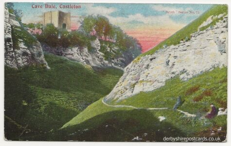
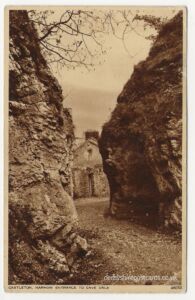
The entrance to Cave Dale is in Castleton.
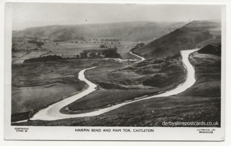
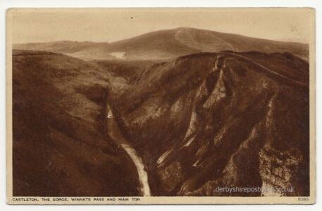
Near Castleton is Mam Tor whose name means “mother hill”. It is 517 m (1,696 ft) high. Due to the geology of unstable shale it has continually suffered from frequent landslips leading to its alternative name of Shivering Mountain. It was declared to be one of the Seven Wonders of the Peak by Thomas Hobbes in his 1636 book De Mirabilibus Pecci.
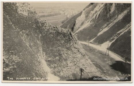
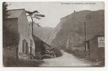
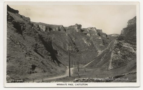
This was the A625 and it previously ran between Castleton and Chapel-en-le-Frith up the south face of Mam Tor replacing a much earlier route through the Winnats Pass – see the bus in the old postcard.
It was this section of road that was was in constant need of repair due to landslides especially after periods of heavy rain It was finally abandoned in 1979 and traffic was, once again, directed westwards through the Winnats Pass Pass to rejoin the A625 at Windy Knoll.
in 2000 the road’s course was altered again to meet the A623 further east, the old route becoming the A6187.
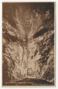
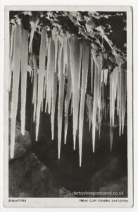
Nearby are four show caves: Blue John Cavern, Speedwell Cavern, Peak Cavern and Treak Cliff Cavern where lead, Blue John, fluorspar and other minerals were once mined.
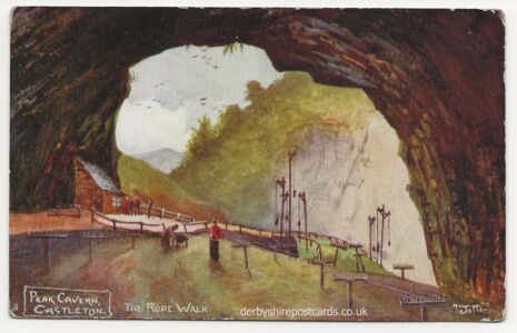
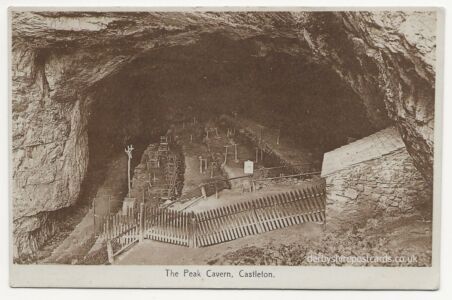
The Peak Cavern – The Devil’s Arse – the largest natural cave entrance in the British Isles
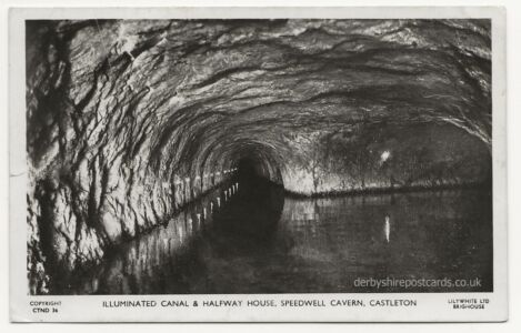
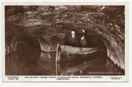
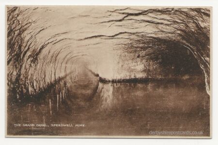
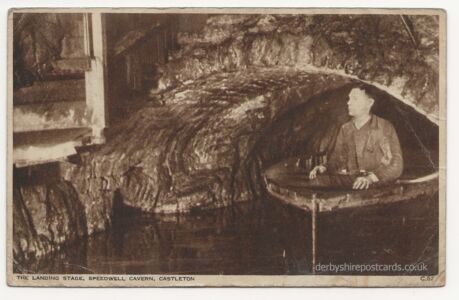
Speedwell Cavern – historic lead mine – visited by boat


