Chesterfield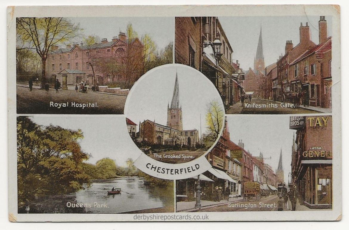
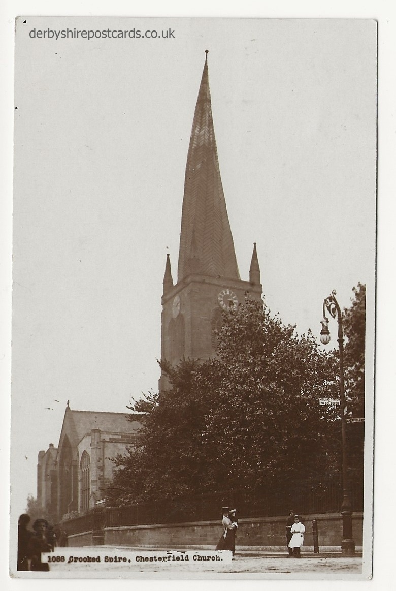
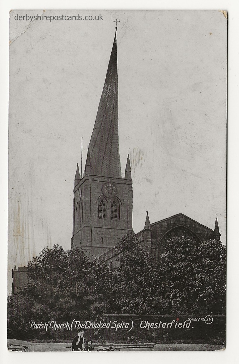
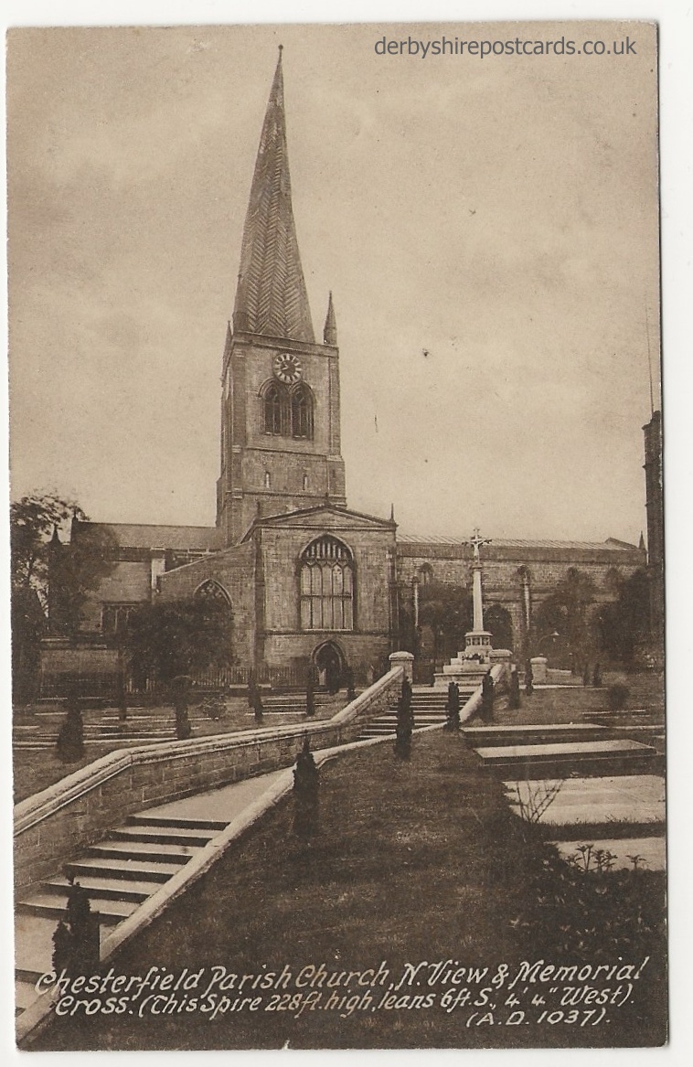
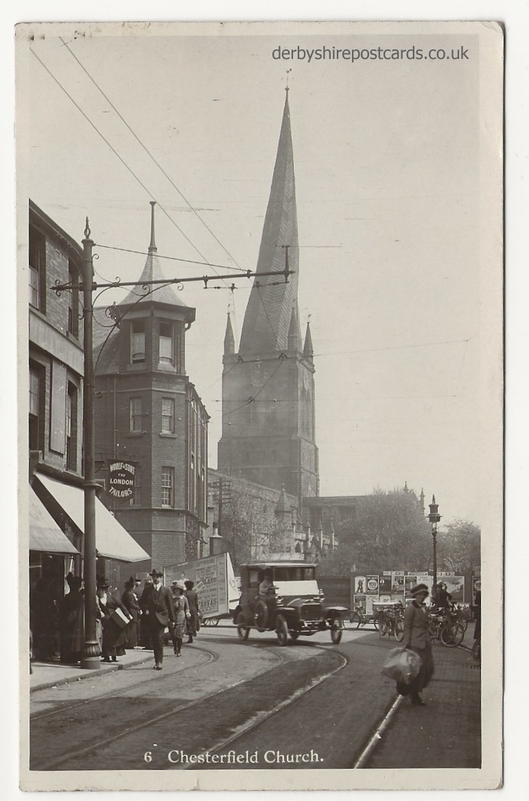
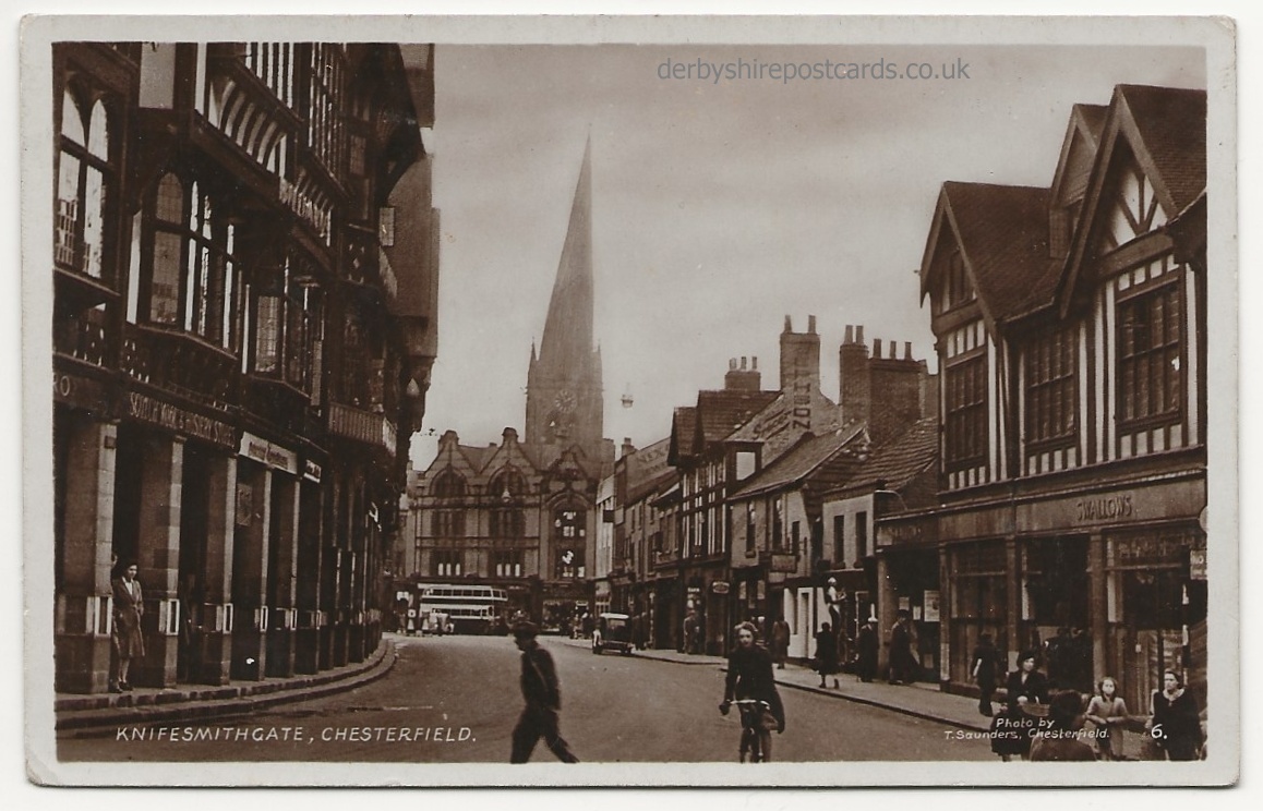
Crooked Spire


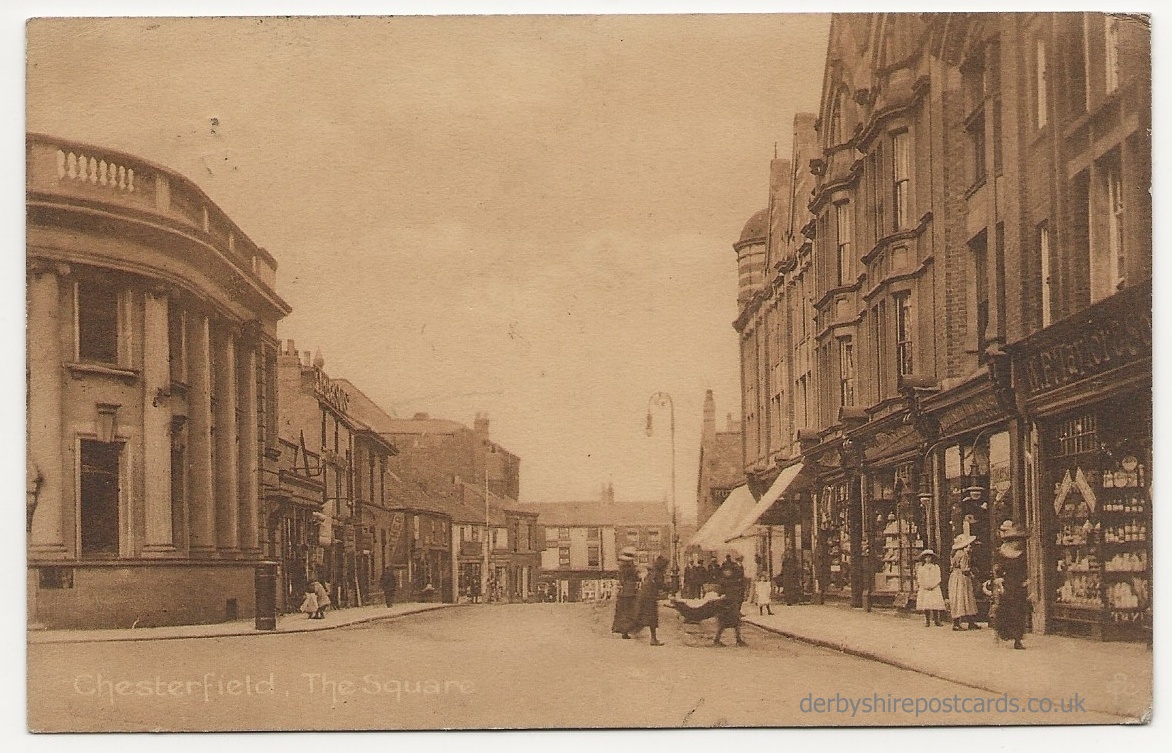
Market Place


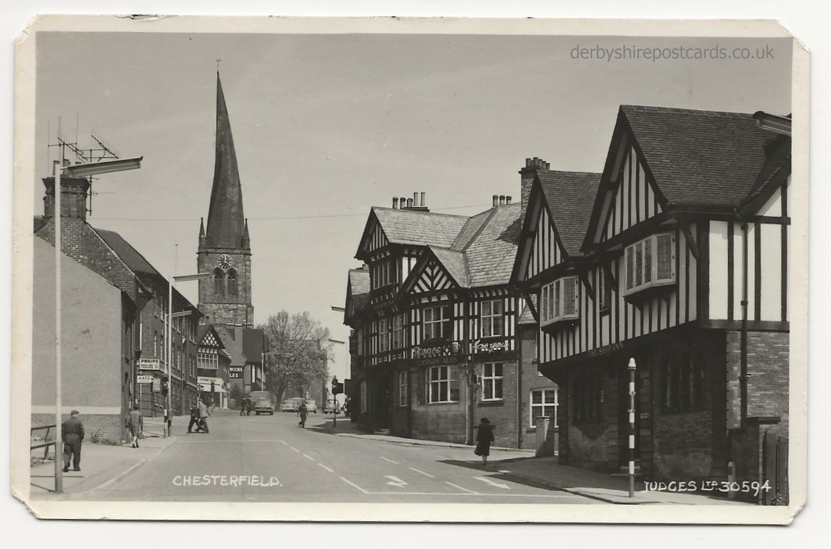
High Street and Knifesmithsgate


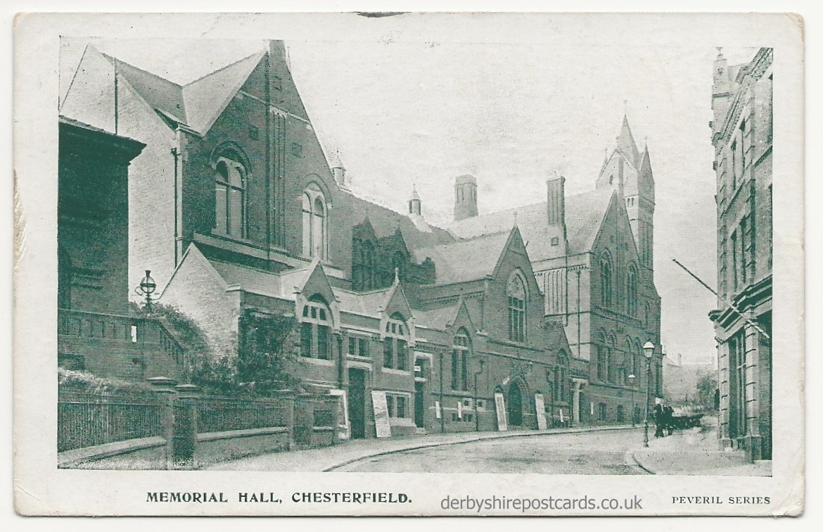
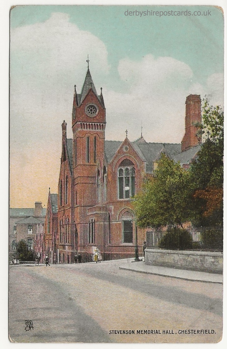
Memorial Hall
Others
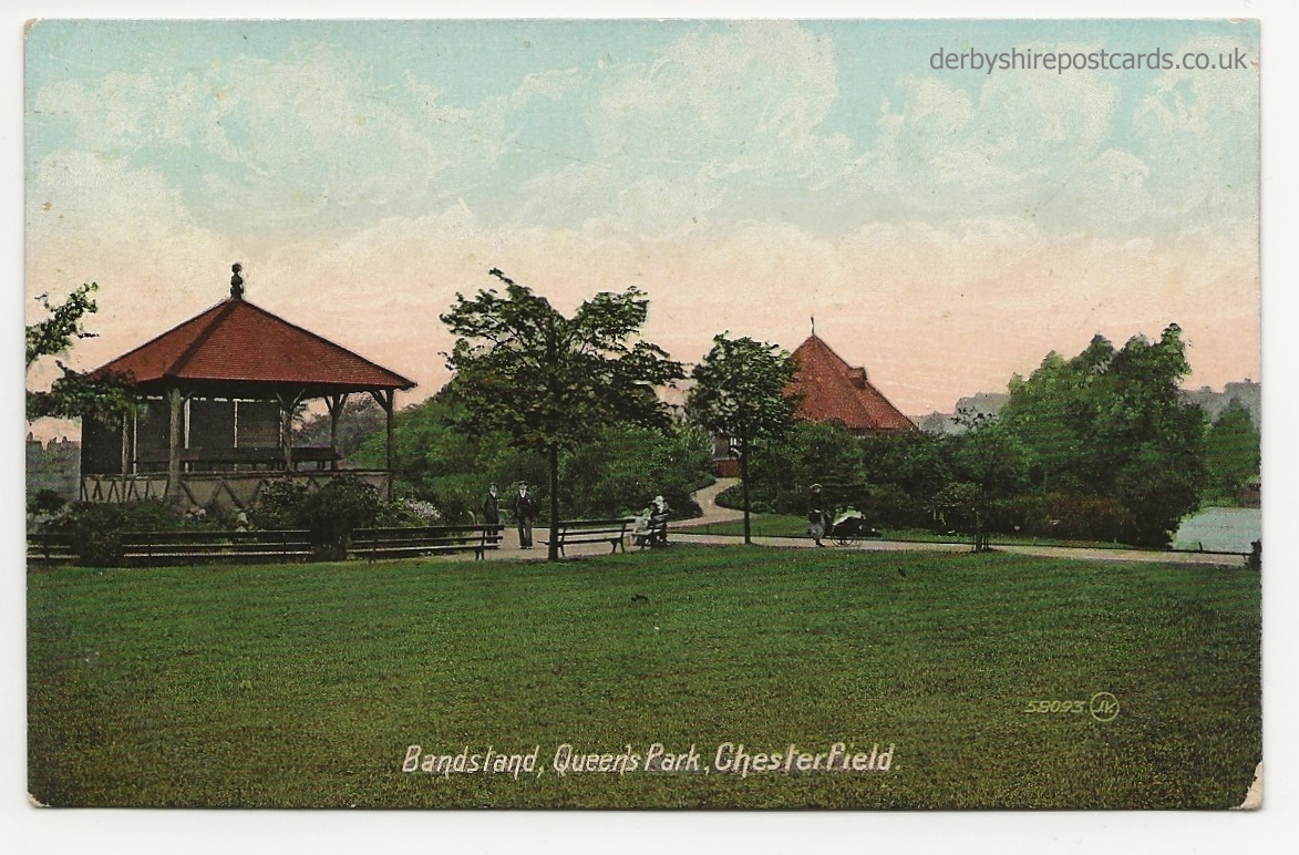
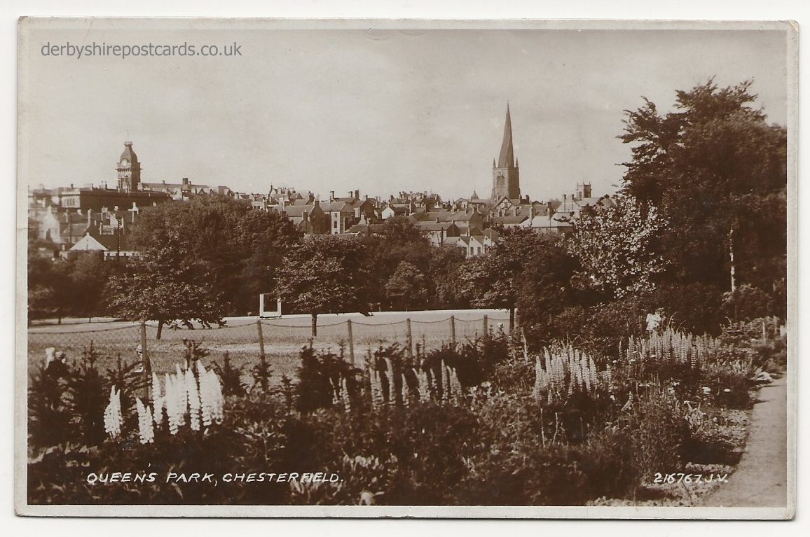
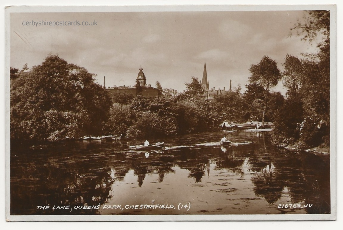
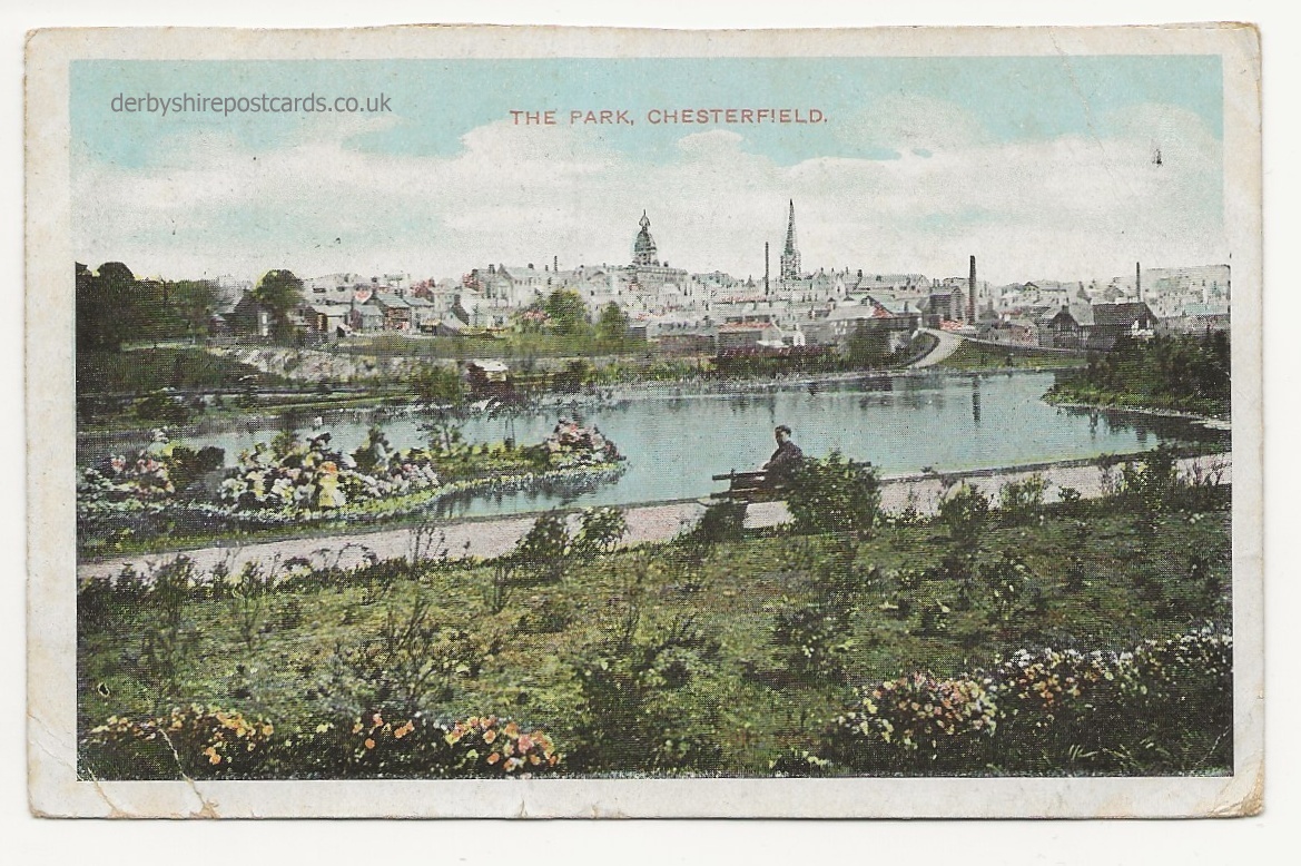
The Queens Park


from Wikipedia
A market town and a borough in Derbyshire, England. It lies 24 miles (39 km) north of Derby and 11 miles (18 km) south of Sheffield, at the confluence of the rivers Rother and Hipper. The borough – which includes the settlements of Whittington, Brimington and Staveley – had a population of 103,800 in 2011. It is the second largest town in the ceremonial county of Derbyshire, after the city of Derby.
Archaeological examination of the town has traced its beginnings to the 1st century AD and the construction of a Roman fort, which became redundant and was abandoned once peace was achieved. Later an Anglo-Saxon village grew up on the site. The name Chesterfield derives from the Anglo-Saxon words caester (a Roman fort) and feld (grazing land).
Chesterfield received its market charter in 1204. It still has a moderately sized market of about 250 stalls held three days a week. The town sits on a large coalfield, which formed a major part of the area’s economy until the 1980s. Little visual evidence of the mining remains today.
The town’s best known landmark is the Church of St Mary and All Saints, popularly known for its “crooked spire”, which was originally constructed in the 14th century.
Chesterfield was in the Hundred of Scarsdale. The town received its market charter in 1204 from King John. The charter constituted the town as a free borough, granting the burgesses of Chesterfield the same privileges as those of Nottingham and Derby. In 1266, it was the site of the Battle of Chesterfield, in which a band of rebel barons were defeated by a royalist army.
Elizabeth I granted a charter of incorporation in 1594 (or 1598), creating a corporation consisting of a mayor, six aldermen, six brethren, and twelve capital burgesses. This remained the governing charter until the borough was reformed under the Municipal Corporations Act 1835. The borough originally consisted only of the township of Chesterfield, but it was extended in 1892 to parts of some surrounding townships. In 1920 there was a major extension when the borough absorbed New Whittington and Newbold urban district. Chesterfield’s current boundaries date from 1 April 1974, when under the Local Government Act 1972, the Borough of Chesterfield was formed by an amalgamation of the municipal borough with the urban district of Staveley and with the parish of Brimington from Chesterfield Rural District.
During his time in Chesterfield, Stephenson lived at Tapton House, and remained there until his death in 1848. He is interred in Trinity Church. In 2006, a statue of Stephenson was erected outside Chesterfield railway station.
Queen’s Park
Queen’s Park is located just outside the town centre, recently benefited from a multimillion-pound programme of investment, allowing it to host county cricket once again. Alderman T P Wood, Mayor of Chesterfield in 1886 proposed that local land should be acquired by the Local Board for the creation of a public park to mark the Golden Jubilee of Queen Victoria in 1887, and officially opened in 1893. The park includes a Cricket field, pavilion, lake, conservatory, bandstand, and miniature railway. A further 13 acres (5.3 ha) of land south of the park separated by a road was acquired as a memorial to Queen Victoria in 1901, and was laid out as a recreation ground known as Queen’s Park Annex.[