This is a series of old Derbyshire postcards depicting the Buxton area.
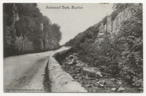
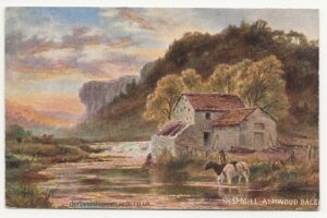
Ashwood Dale
 |
 |
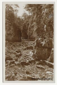
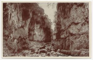
Lover’s Leap
 |
 |
from Picture the Past –
The River Wye is the major river of the western part of the Peak, rising on Axe Edge above Buxton (as do the Rivers Dove and Manifold, all within the space of a few kilometres) and flowing eastwards through Buxton and Bakewell to join the Derwent at Rowsley. Between Buxton and Ashford the river has had to carve a long series of gorges which characterise this section and the river always lies in a deep-cut valley which is often lined with cliffs and is sometimes spectacularly narrow. The first part of the gorge is Ashwood Dale, a narrow tree-lined valley where the A6 main road travels alongside the river, and at the end of Ashwood Dale the road leaves the river because the Wye enters Cheedale, with steep cliffs on either side and sections where the lower valley is often difficult to even walk along.
Topley Pike
Deep Dale and Topley Pike is a protected nature reserve, which is overseen by the Derbyshire Wildlife Trust. The reserve contains whitebeam, yew, ash and hazel trees and limestone fern on the lower scree slopes, with bilberry, cowberry and wild flowers on the steep upper slopes, including bloody crane’s bill, clustered bellflower, rock rose and Nottingham catchfly. Without sheep grazing, the native grasses of meadow oat and carnation sedge flourish. The limestone cliffs are an attractive habitat for kestrels and jackdaws. Topley Pike and Deep Dale is also a designated Site of Special Scientific Interest (SSSI).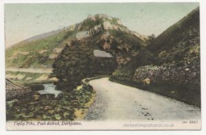
Toad Rock near Buxton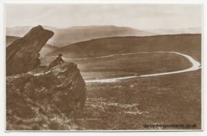 |
Hair-Pin Bend Axe Edge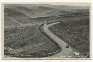 |
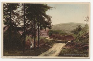
The Goyt Valley is close to the Buxton area – this old postcard is titled ‘The Road to Goyt Bridge”